
By Mike Doesburg, partner at Wynn Williams, specialising in resource  management and environmental law.
The Government’s Essential Freshwater Package had admirable ambitions: halting degradation of freshwater, making improvement to water quality within five years and reversing past damage to waterways and ecosystems within a generation.
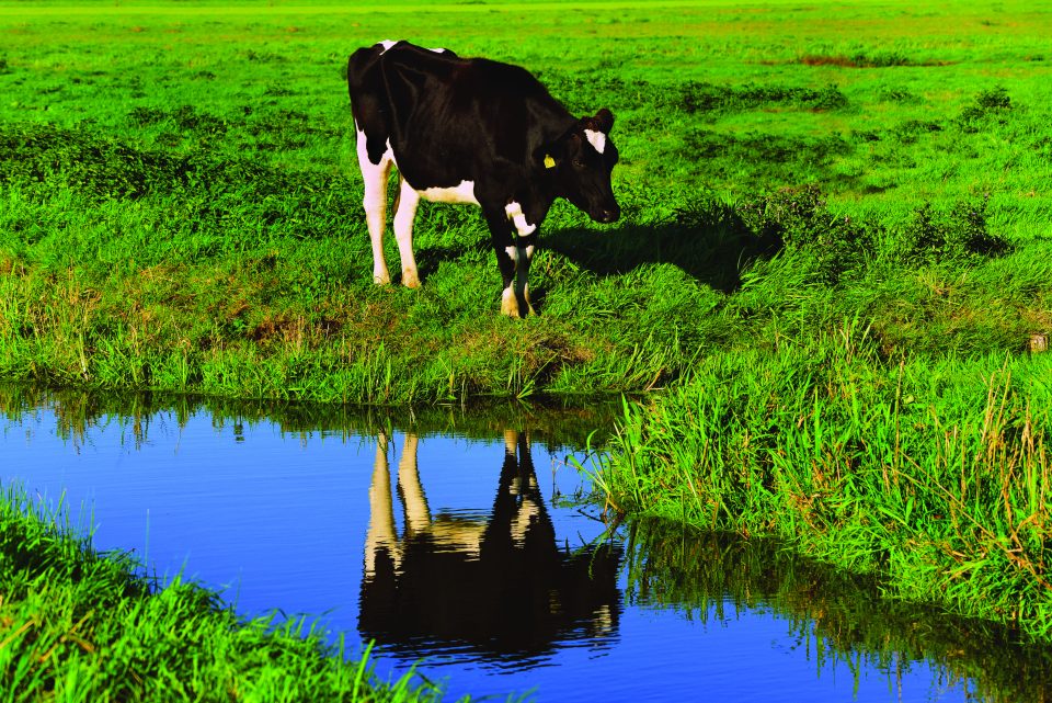
As if that wasn’t ambitious enough, the Government also set its sights on preventing further loss of one of New Zealand’s most valuable ecosystems – wetlands.
Unless you have had your head buried in a bog, health or fen for the last 18 months, you will have a sense of the difficulties that have flowed from Essential Freshwater in relation to wetlands. The Resource Management (National Environmental Standards for Freshwater) Regulations 2020 (NES-F) generally override plan provisions and provide strict standards that limit certain activities within or within proximity to “natural wetlands”.
The NES-F goes so far as to prohibit earthworks or water takes that result in full or partial drainage of all or part of a natural wetland. Earthworks, vegetation clearance or water takes/use/discharges that are not otherwise provided for in the NES-F are non-complying activities.
While the stringency of the NES-F has been a cause for complaint for those navigating the regulations, from quarry operators through to property developers, there is a bigger issue. What on earth is a “natural wetland”!
To paraphrase the definition, a “natural wetland” is a wetland as defined in the RMA that is not a constructed wetland, a geothermal wetland or an area of improved pasture.
Simple? Well, no!
The Courts have recently had the pleasure of considering this issue, albeit in two different contexts.
Greater Wellington Regional Council v Adams
In Greater Wellington Regional Council v Adams [2022] NZEnvC 25, the Regional Council asked the Environment Court to make enforcement orders prohibiting further development of land in a 12 lot rural-residential subdivision and requiring wetland restoration on those sites that had been developed.
A core issue for the court was whether the areas in question were natural wetlands for the purposes of the NES-F (and the relevant regional plan). Ultimately the court concluded that the improved pasture exclusion applied and, in any event, was not convinced that the area was a natural wetland.
The 181 paragraph judgment is worth a read for anyone wondering how the delineation of terrestrial natural wetlands works in practice. In short, comprehensive expert assessment of vegetation, soil and hydrology will be required (at least in marginal cases).
Minister of Conservation v Mangawhai Harbour Restoration Soc Inc
In Minister of Conservation v Mangawhai Harbour Restoration Soc Inc [2021] NZHC 3113, the High Court considered two appeals against declarations by the Environment Court on the issue of whether or not the NES-F applies in the coastal marine area (CMA). Overturning the Environment Court’s decision, the High Court concluded that the NES-F applies to natural wetlands in the CMA.
The Court was not tasked with defining what amounts to a natural wetland in the CMA, but Campbell J ventured that he was “reasonably confident it does not encompass the entirety of the CMA, the seaward boundary of which is the outer limits of New Zealand’s territorial sea”.
No criticism can be levelled at the court, but users and regulators of the CMA are left wondering which parts of the CMA are natural wetlands, particularly in the absence of any guidance or “delineation standards” for that environment. There is a real challenge in drawing a line around the areas of CMA that “support a natural ecosystem of plants and animals” (as per the RMA definition of wetland).
A promise of a solution
Uncertainty creates problems. The threat of enforcement hangs heavy over the heads of people considering vegetation clearance, earthworks or water takes/ use/discharges. Land-owners, resource users and regulators need to know what areas are captured so that they can make appropriate decisions.
While regional councils have the unenviable task of mapping every terrestrial natural wetland in their region larger than 500 square emtres (or smaller than 500 square emtres but known to contain threatened species), such mapping is not required to be in place until 3 September 2030. No mapping is required in the CMA.
All indications are that a solution is being considered. Consultation undertaken in September 2021 has proposed a refined version of the improved pasture exclusion, as well a consenting pathway for quarrying, landfills, mining and urban development.
Rumours are that changes are also being considered in relation to the CMA. Landowners, resource users, regulators and practitioners now wait with bated breath, in the hopes of a workable outcome for natural wetlands on land and in the CMA.
Why I look forward to greener generation